|
|
U.S. Snowstorm and Snow Accumulation Forecast |
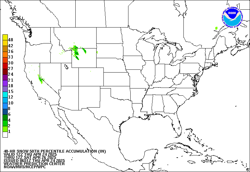
Forecast 2 Day Total Snowfall from NWS (best estimate) |
|
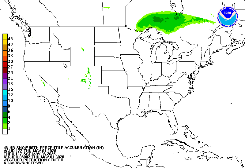
Forecast 2 Day Total Snowfall from NWS (worst case scenario) |
|
6-Hourly Snowfall Forecasts for Next 2 Days(in inches; click map for all 48 hours at 6 hour intervals) 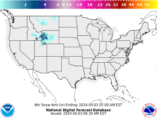
|
6-Hourly Snowfall Forecasts by State |
| SELECT BOX EXAMPLES | ||
|
||
| Copyright © 2025 WeatherStreet.com |
| Put our free WeatherStreet weather lookup on your web page. |
Terms & Conditions

|